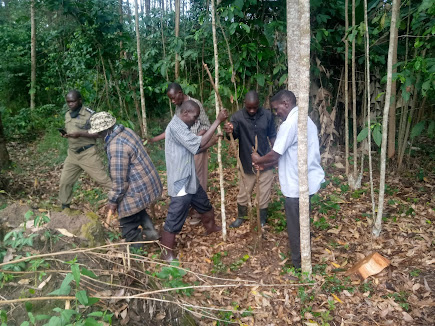
Uganda's Geospatial transformation
Focusing on technological developments, Uganda, in Particular, is adopting/increasing her potential to grow though use of geo-information technology to address climate change, biodiversity conservation, social and cultural(https://www.seed.manchester.ac.uk/about/stories/mapping-way-ugandas-mll-victims/ )developments including industrial developments.
This has been realised by the diversity of geospatial data providers , national mapping and space agencies, policy makers and research institutes taking up this leading technlogy
Increase use of this will enable adequate contribution to the country to contribute to achieving the(Vision 2040 ) thence focusing on the role and relevance of geospatial information in national development will support the country's growing economy and attracting the interest of governments and businesses from around the world.


Comments
Post a Comment
feel free to comment